
NOAA satellite images recorded at Wetherby, United Kingdom.
These images were recorded from the NOAA 18 and 19 Satellites as they pass overhead.
To check when the next image will be available click here
Click on any image below for a full sized image. Times are shown in UTC.
Wetherby weather, weather station recordings
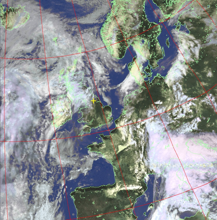
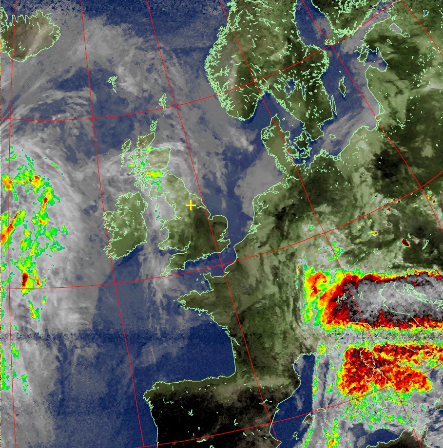

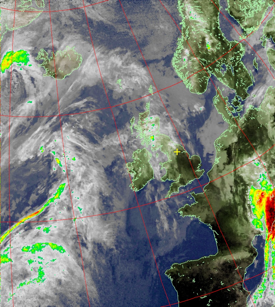
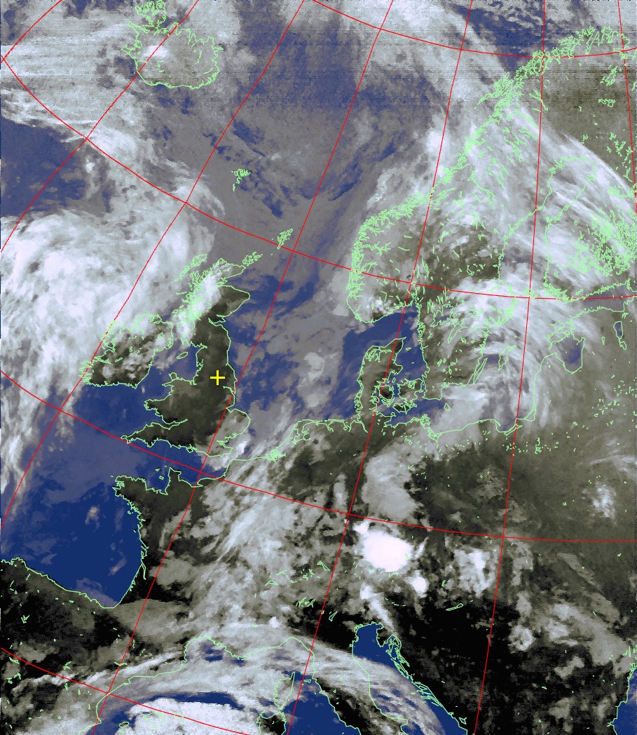
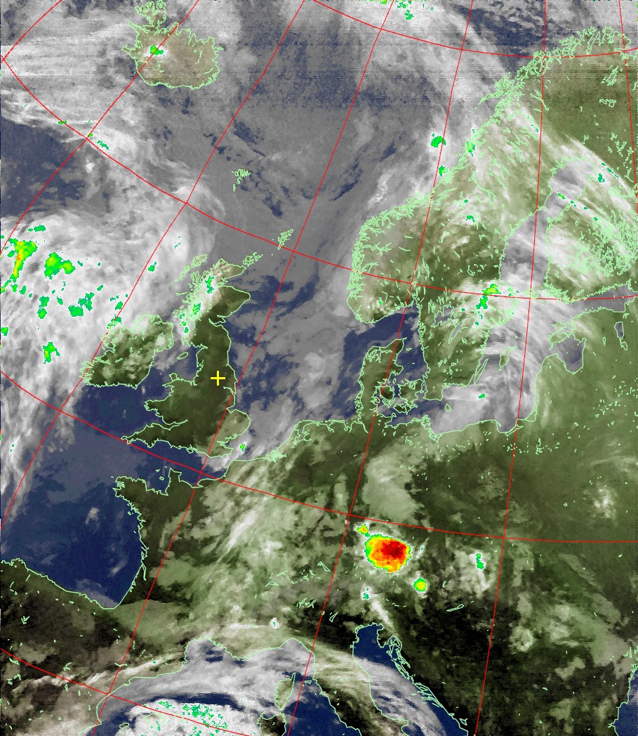
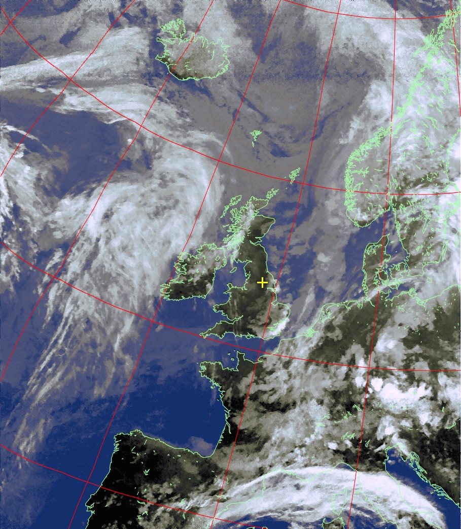
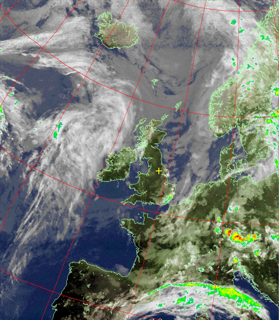
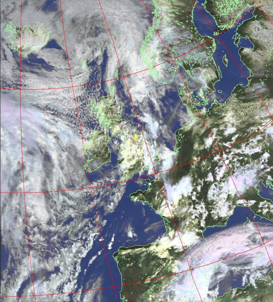
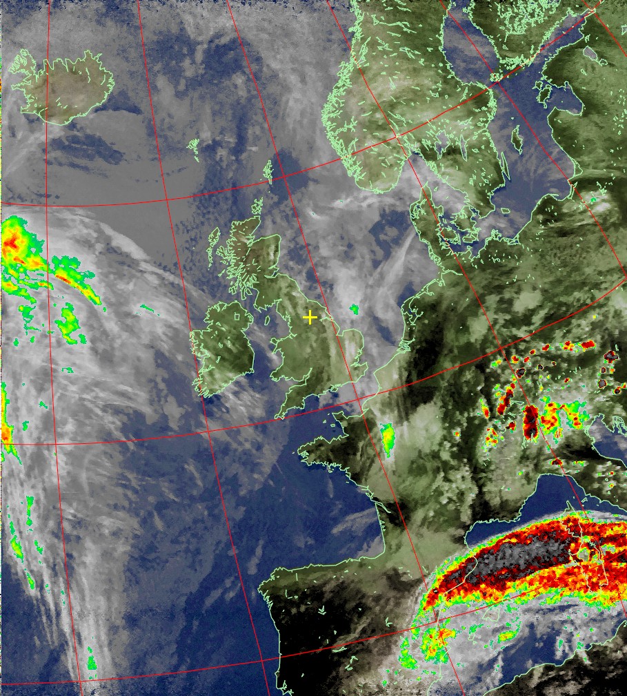

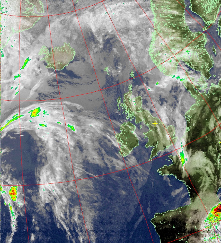
Table of Next Scheduled Satellite Passes over Wetherby, United Kingdom
| Satellite | Start of Pass | Time Available | Maximum Elevation | Frequency | ||
| name | UTC | local time* | UTC | local time* | degrees (east or west) | MHz |
| NOAA 19 | 15 Dec 19:44 | 15 Dec 19:44 | 15 Dec 19:56 | 15 Dec 19:56 | 66° W | 137.10 |
| NOAA 18 | 15 Dec 20:56 | 15 Dec 20:56 | 15 Dec 21:08 | 15 Dec 21:08 | 52° E | 137.9125 |
| NOAA 18 | 15 Dec 22:38 | 15 Dec 22:38 | 15 Dec 22:48 | 15 Dec 22:48 | 34° W | 137.9125 |
| NOAA 19 | 16 Dec 07:59 | 16 Dec 07:59 | 16 Dec 08:10 | 16 Dec 08:10 | 32° E | 137.10 |
| NOAA 19 | 16 Dec 09:40 | 16 Dec 09:40 | 16 Dec 09:51 | 16 Dec 09:51 | 54° W | 137.10 |
| NOAA 18 | 16 Dec 10:51 | 16 Dec 10:51 | 16 Dec 11:03 | 16 Dec 11:03 | 65° E | 137.9125 |
| NOAA 19 | 16 Dec 19:32 | 16 Dec 19:32 | 16 Dec 19:44 | 16 Dec 19:44 | 79° W | 137.10 |
| NOAA 18 | 16 Dec 20:44 | 16 Dec 20:44 | 16 Dec 20:55 | 16 Dec 20:55 | 43° E | 137.9125 |
* local time is GMT Standard Time.
These satellite images were produced using WXtoImg software, for more information about this subject visit the website.